01 / AGENTIC
Agentic, with geology in the loop.
Coordinate focused AI specialists for graph questions, geological interpretation and analysis—with project context kept in view.
Explore the approach AUGENTIC
GEOLOGY, CONNECTED
Agentic AI and practical geoscience tools, built to help exploration teams move from scattered information to clearer next steps.
Designed for the way geologists work.
ONE CONNECTED WORKSPACE
Augentic brings useful tools closer to the data and context geologists already rely on.
Coordinate focused AI specialists for graph questions, geological interpretation and analysis—with project context kept in view.
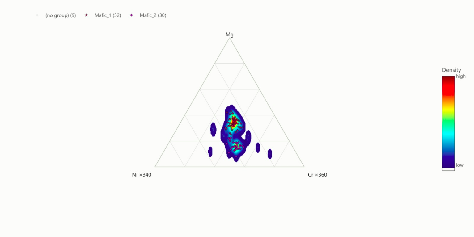
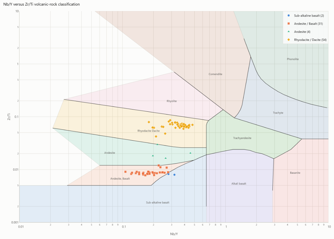
Explore the approachRun repeatable workflows for quality checks, clustering and multivariate views across exploration datasets.
Use Prospector jobs to gather, screen and organize exploration reports around an area of interest.
See the workflowAGENTIC WORKFLOWS
Augentic routes graph questions, geological plotting and file analysis to focused sub-agents. Their progress and outputs return to the same conversation, so the task stays connected from question to result.
Schema-aware database retrieval and project data exports.
Geological plots, diagram workflows and selected-file preparation.
Code-driven analysis on authorized project files.
PROSPECTOR JOBS
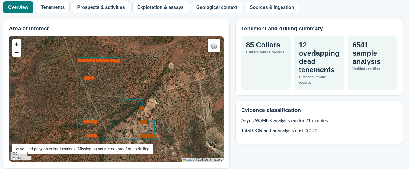
Prospector turns a defined area into an asynchronous research job. It gathers available public exploration reports and supporting tenure and geology records, then processes selected report material through OCR and indexing before publishing findings in an HTML report.
Start with a mapped area of interest.
Collect available records and report attachments for analysis.
Follow findings alongside source context and coverage notes.
SEE GEOLOGY IN CONTEXT
Bring spatial relationships and structural orientation into the same conversation.
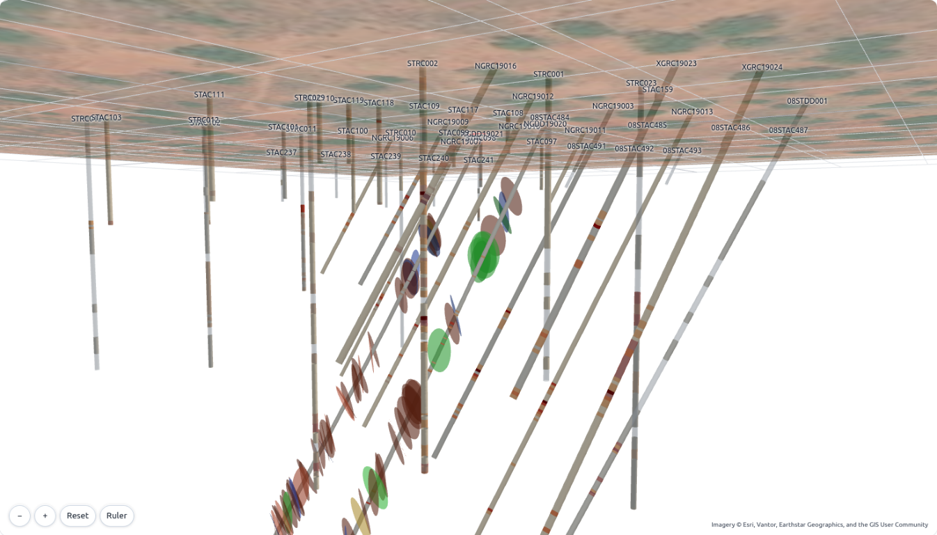
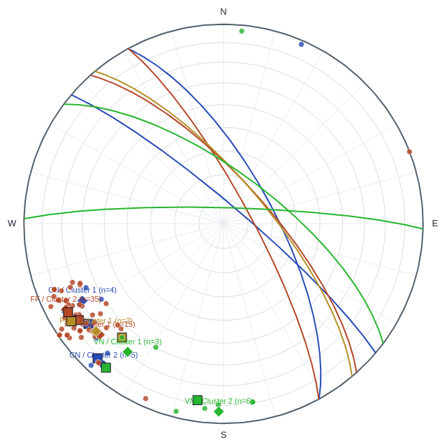
Watch a recorded walkthrough of the 3D drillhole view, including drillhole traces, structural observations and aligned surface imagery.
The images are static snapshots of the visualizations. The video is a screen recording; the 3D model is not interactive on this page.
AUGENTIC
Exploration work brings together maps, reports, assays and specialist knowledge. Augentic is being built to help connect those pieces—with geoscience workflows at the centre.
We believe AI should support careful work, make its limits clear and leave important decisions with people.
Start a conversationLET’S TALK GEOLOGY
Tell us what your team is working on.
info@augentic.au